Flights from London to Iceland fly over a lot of water, a little part of Iceland, but mostly over the length of Britain.
Take a look at these aerial photos of mountains, valleys, islands, cities and towns - mine are mainly of Scotland and the north of England, because it was cloudy down south.
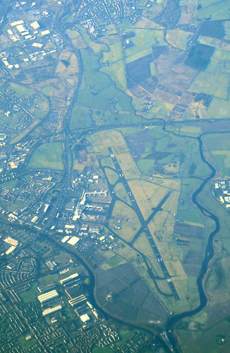
Glasgow airport
The Firth of Forth, and Forth Road Bridge
The iconic Forth (rail) Bridge is just about visible in the background, behind clouds.

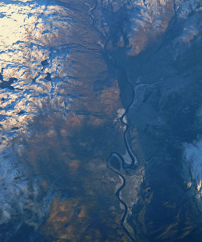
River valley in Scotland
I haven't been able to identify this one.
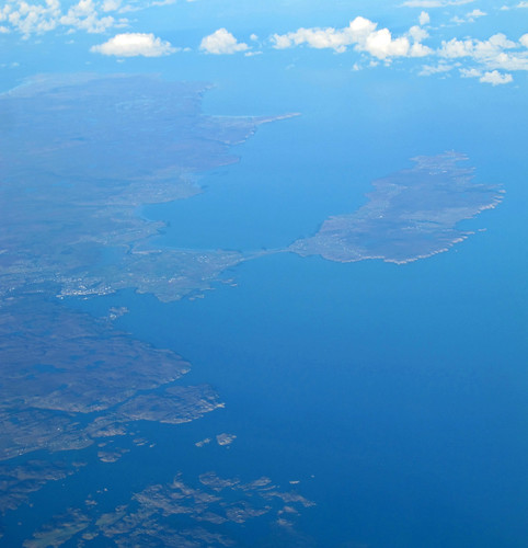
Stornoway and Isle of Lewis
Stornoway is in the left middle-ground.
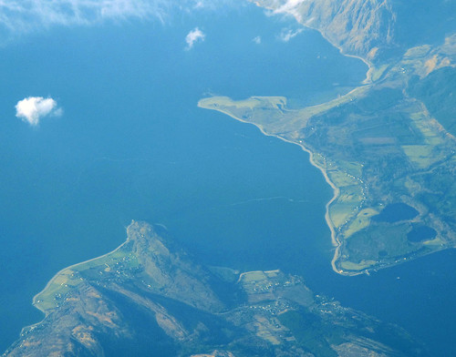
Loch Linnhe
Two photos of Loch Linnhe - one of the north-western edge, and one where its two sides nearly meet.

Robin Rigg wind farm
I identified this, as it was the only wind farm with 60 turbines.

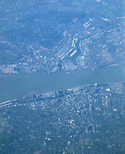
Liverpool, the Mersey and Birkinhead
Liverpool is in the lower half of the photo.
Loch Linnhe
Two photos of Loch Linnhe - one of the north-western edge, and one where its two sides nearly meet.
Robin Rigg wind farm
I identified this, as it was the only wind farm with 60 turbines.
Liverpool, the Mersey and Birkinhead
Liverpool is in the lower half of the photo.