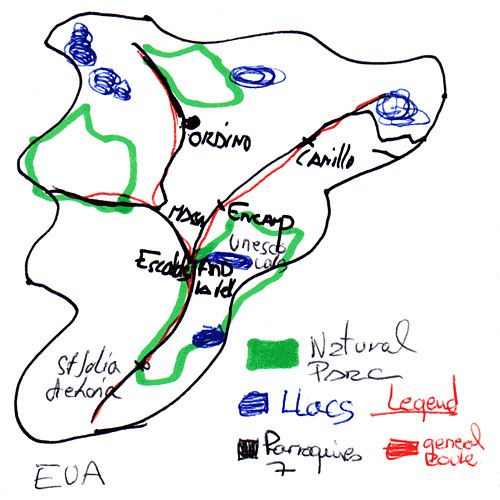
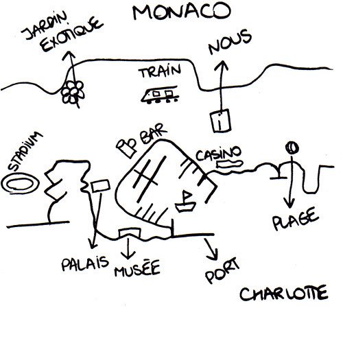
In my quest for maps of micronations, I took a trip recently, travelling first to Andorra and onwards to Monaco.
In both places, lovely people working in the tourist offices drew maps for me. I'm nervous of tourist offices, as whenever I've asked their staff to draw maps, they hand me one of their many printed maps.
Eva in Andorra was about to do this, but I convinved her that I wanted a hand-drawn map. "OK", she said, and set about producing the most detailed map I've got. It's in four colours and has a legend.
I explained in fledgling Spanish why I was asking for a drawn map. "It's very interesting", said Eva looking proud of her map. And well she should.
Later in the trip, in Monaco's tourist office, Charlotte drew another wonderfully detailed map of Monaco. At one point, I wondered nervously if she was just drawing Monte Carlo and not Monaco. Then I realised it's pretty much the same thing.
Charlotte seemed pleased with her map too. "We've never had anyone ask us for this before," said her colleague.


