Things I do
I ask people to draw maps...
· Draw the World
· Draw Europe's nations
· Crowdsourced Continent maps
I make map cards:
· See map cards
Other things I wrote about:
· Little moments from travel
· London art & museums
· Football with foreign fans
· London shop geography
About this blog
I also write a newsletter about museums.
Crowdsourced Continents: The World
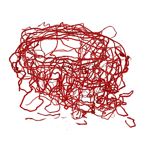
Friday, October 30, 2015I went to a Latin American festival, Canada Day and USA Independence Day events, a UK / Australia cricket match, a European folk music festival, an African Craft Fair and a variety of Asian events.
At each, I asked people at the event to draw a map of that event's continent. Some people came from the continent, some from elsewhere.
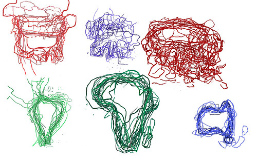
I then took all these maps and laid them on top of each other to create a jumbly mind-memory-map of these continents. And here are all those maps, as the world.
Some were clear - Africa, Australia, South America - and some much less so - Europe and Asia.
In all, we can see that maps are made by drawing, constructs in the moment, made from memory which is patchy and personal, familiar and fascinating.
I've had really interesting conversations with the 87 people who drew these maps, and hopefully, you enjoy them too.
Labels: Africa, Asia, Australia, cartography, Europe, hand-drawn, iaskpeopletodrawmaps, map, maps, multimapped, North America, South America
Crowdsourced Continents: Asia
Thursday, October 22, 2015Since 2009, I have been (on-and-off) asking people to draw maps of continents which I then overlay on each other.
I've asked people to draw South America, Australia, North America, Europe and Africa.
But I've waited a long while to 'do' Asia. Mainly as I didn't know how to approach Asia.
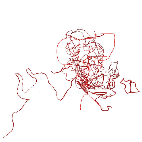
I had previously asked people at a SouthEast Asian festival to draw some maps, could I follow that idea with more regions. Should I divide Asia into regions and, if so, which regions?
The answer had been staring me in the face rather obviously: ask people to draw 'Asia' - a seemingly simple but complex challenge.
In August and September, I went to a variety of events where I asked people to draw Asia:
Here are their maps individually.
And that is my last crowdsourced continent map: in my next blog, I'll show all the continents together.
Labels: Asia, cartography, hand-drawn, iaskpeopletodrawmaps, map, maps, multimapped
Sketching Europe & Southeast Asia
Wednesday, July 13, 2011I collected these maps two years ago, but never put them online.
The first was collected at a Thailand festival in Greenwich Park (where I saw the winner of Thailand's Got Talent performing). 15 people drew their maps of Southeast Asia, so thanks to Kris, Rose, Kirsty, Emma-Louise, Hita, Jem and Catherine from the UK, Rose, Yuttakorn, Annie and Chookiat from Thailand, Chris and Denny from New Zealand, Pepper from the Philippines and Alex from Italy.


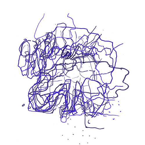
Sometime later, I went to the New European Village festival at Southbank to ask for maps of Europe. Thanks to the 11 people who drew a map: Joe, Zimbab and Janine from Germany, OQ a 'secret Turk', Sophie and Celine from France, Poppy from Greece, Baz from Belgium, JK from England, Claudia and Luisa from Colombia.


The last few maps have not been as precise as the previous two. Maybe Australia and Latin America are more defined places than Europe and Southeast Asia. Certainly, their shapes are easier to know.
This makes me wonder how to collect the remaining continents. I'm not so worried about Africa, but Asia's more unusual. Do I divide it into regions?
My first thoughts are to have Middle East, India, and China, but it's not an easy division. Where to put Russia, and the big wide middle-ground?
Labels: Asia, cartography, Europe, hand-drawn, iaskpeopletodrawmaps, map, multimapped