Showing posts with label UK. Show all posts

Manchester Mosiacs

Saturday, November 14, 2015

I visited Manchester recently.

While there, I followed a Royal Geographical Society audio tour on Victorian Manchester.

It started at the newly refurbished Manchester Victoria station, with its marvellous tiles, and brought me to see buildings relating to how newly industrial Manchester cared for its poor and destitute.

Outside one brick building, I felt a surge of emotion about that institution helping those who were being left behind in the Victorian industrial metropolis.

Each brick, to me, symbolised all the small kind acts taken place there.

My fanciful notion aside, Manchester is a place full of brickwork and tiles, a city made of mosaics, the many making the whole.

Country + Continent Cards

Tuesday, August 27, 2013

I've been making a lot of cards recently from maps and recycled paper - take a look at some below - showing map shapes of countries and continents.

I love how recognisable some countries and continents are, simply by their shape. But I also wonder why some countries are not?

Next Saturday morning, I will be selling these cards - and my Christmas and Valentine map cards - and notebooks at a table top sale at The Dog House pub in Kennington.

The sale is in aid of people who have haemochromatosis, so do come along and say hello.


Transbritannia

Wednesday, February 15, 2012

Flights from London to Iceland fly over a lot of water, a little part of Iceland, but mostly over the length of Britain.

Take a look at these aerial photos of mountains, valleys, islands, cities and towns - mine are mainly of Scotland and the north of England, because it was cloudy down south.

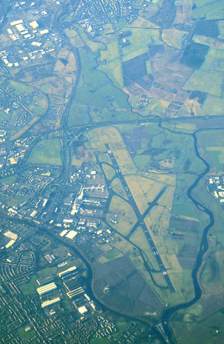
Glasgow airport

Glasgow airport, aerial photo

The Firth of Forth, and Forth Road Bridge

 The iconic Forth (rail) Bridge is just about visible in the background, behind clouds.

Forth Road Bridge, aerial photo

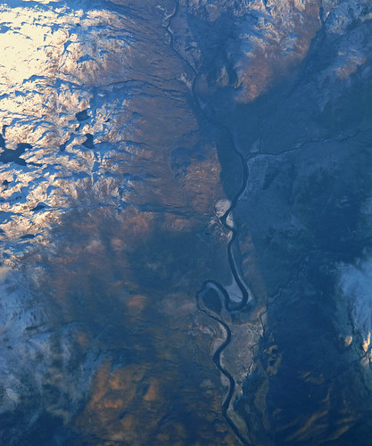
River valley in Scotland

 I haven't been able to identify this one.

Scottish river, aerial photo

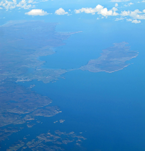
Stornoway and Isle of Lewis

Stornoway is in the left middle-ground.

Stornoway, Lewis, aerial photo

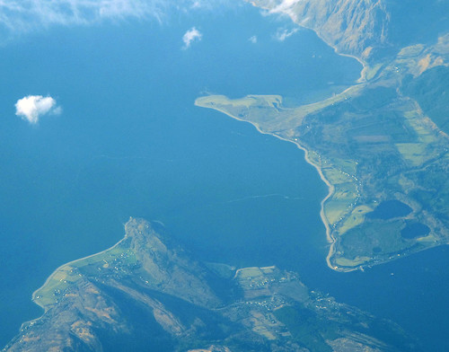
Loch Linnhe

 Two photos of Loch Linnhe - one of the north-western edge, and one where its two sides nearly meet.

Loch Linnhe and mountains, aerial photo

Loch Linnhe, aerial photo

Robin Rigg wind farm

I identified this, as it was the only wind farm with 60 turbines.

Robin Rigg wind farm, aerial photo

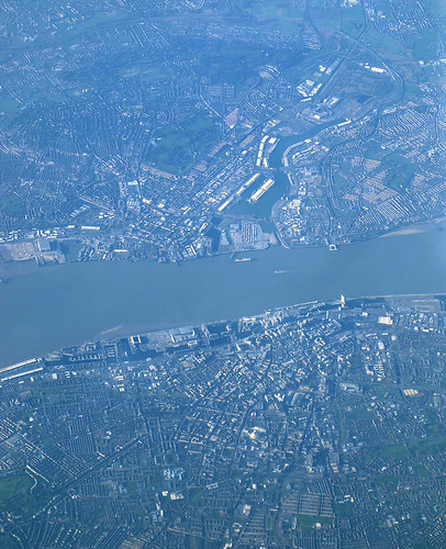
Liverpool, the Mersey and Birkinhead

Liverpool is in the lower half of the photo.

Liverpool, aerial photo


Cork to London, from above

Saturday, January 14, 2012

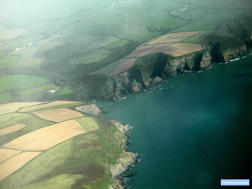
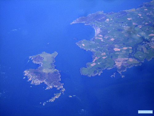
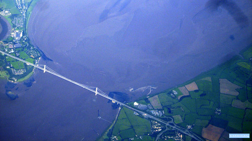
I've been flying back and forwards between Cork and London for nearly 6 and a half years now. Inspired by my last post with google maps screenshots of geographical landscapes, here are a variety of aerial photographs taken on my many flights between Ireland and the UK.

Cork Harbour, aerial photograph

Southern Ireland coastline, aerial photograph

Ramsey island, aerial photograph

Severn bridge, aerial photograph

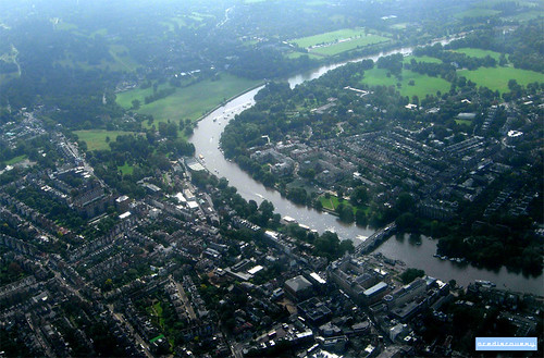
Meandering River Thames, aerial photograph

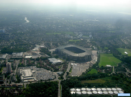
Twickenham Stadium, aerial photograph


Britain from above

Tuesday, January 10, 2012

The first book I have read from my New Year reading list is Never Eat Shredded Wheat, which is all about the geography of the UK.

As the author described various features, like oxbow lakes, moraines, cliffs and so on, I looked them up on Google Maps (because aerial photography is great).

So here are some screenshots of fantastic British landscapes from Google Maps - I didn't keep a record of where these all are, but if you want to guess, leave a comment.


UK to Spain, from above

Monday, February 21, 2011

I took these great aerial photos on a flight from London to Gibraltar, and then the return flight from Seville to London.

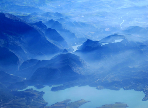
Mist over Guadalhorce / Guadalteba reservoirs , Spain

Sierra Nevada, from above

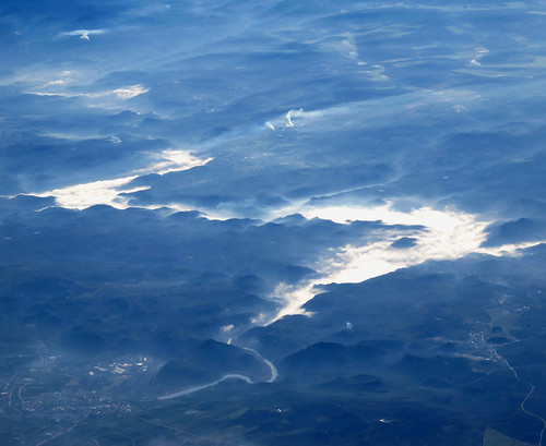
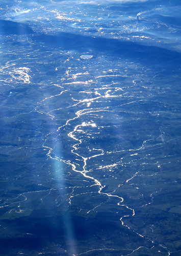
Sunlight reflecting of Spanish river

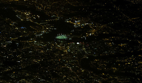
Night aerial view over east London


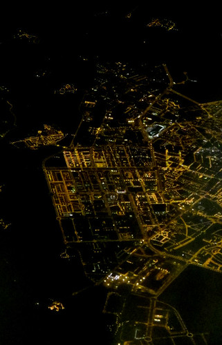
Burgos, Spanish city by night

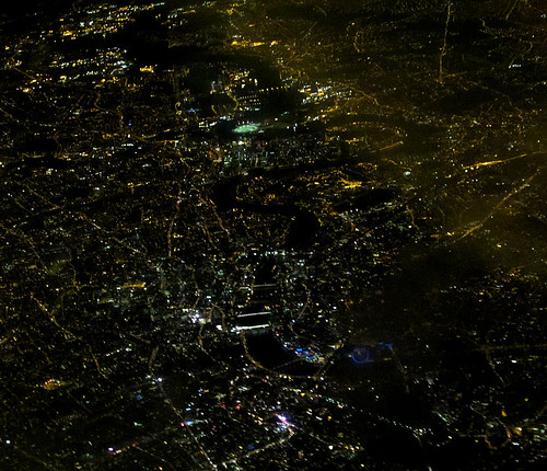
London by night, aerial photo

London to Corfu, from above

Sunday, September 26, 2010

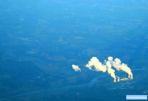
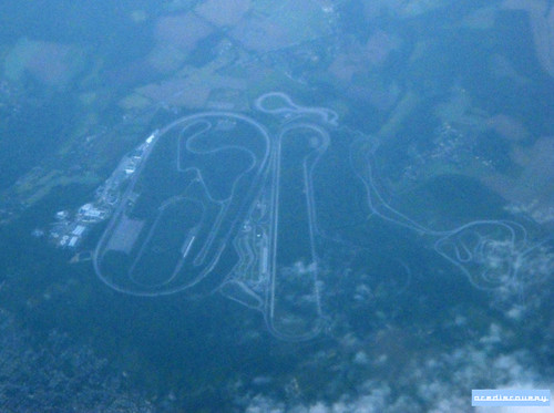
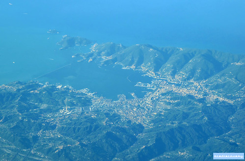
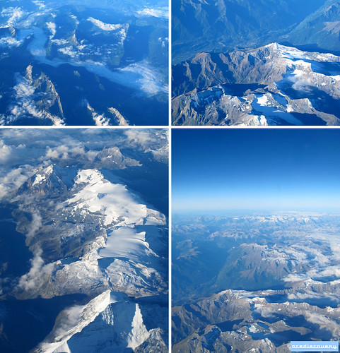
I took these great aerial photos on a flight from London to Corfu, passing over France and Italy.

Dampierre nuclear power plant, aerial photograph

Race track, from above

La Spezia, from above

The Alps from above

And on the return night flight, we passed over Paris - spot the Eiffel Tower in the left lower middle ground.

Paris by night, aerial photograph