
You don't see much land on a flight from London to New York (especially if it's a cloudy day in the UK Ireland) - otherwise, it's the Atlantic Ocean all the way.
But, as you descend along the eastern seaboard of Canada and the USA, there are lovely views of islands, coasts and cities like these.
(This is Plum Island - I saw this on my last flight to New York too.)
Showing posts with label aerial. Show all posts
Showing posts with label aerial. Show all posts
London to New York from above
Friday, December 05, 2014London from above: Westminster Cathedral
Monday, August 11, 2014One of the greatest views in any city is from above.
In London, the two of the most famous ways to see the city from on high are the Shard and the London Eye.
But there are other ways (cheaper too). A few weeks ago, I went to Westminster Cathedral and took the lift to their tower to admire the views around me.

The views around Victoria show many modern buildings, lots of glass and steel offices and shopping centres - and some surprises like rooftop gardens.


Looking around from that vantage point gives a wonderful span of buildings including Westminster Abbey, the Cheesegrater, BT Tower, Walkie Talkie, the Shard, Strata SE1, Vauxhall and Battersea Power Station.


Above Africa
Wednesday, January 01, 2014A year ago today, I flew to Rio de Janeiro. At the time, I didn't share these aerial photographs taken as we flew above Africa.
I've never been to Africa, so it was a wonderful sight for me to see the desert dunes and mountains and valleys stretching away for miles and miles.
I was excited too to see structures - houses and maybe a mine? - in the middle of the desert.
Later, we flew over some coastal towns and cities including Agadir and Guelmin.
Mountains in the south of Morocco.
Mountains in the south of Morocco.
Valley in south of Morocco.
More Moroccan mountains
Agadir from above
Guelmin from above
River and meander to the south of Guelmin.
High up in the Low Lands
Monday, November 18, 2013I've recently paid a visit to three cities in Belgium (as well as a day-trip to the Netherlands).
My first instinct when arriving in a new town or city is to try to see it from above.
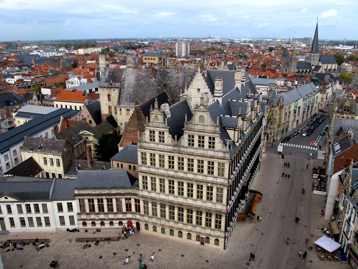
So in Bruges, Ghent, Antwerp and 's-Hertogenbosch, I ascended the combined 274 metres in two bell towers, one cathedral turned to an art centre and a museum to see these pretty towns laid out before me.
Bruges from the Belfry


Ghent from the Belfry

Antwerp from Museum Aan de Stroom


's-Hertogenbosch from the Hieronymus Bosch Art Centre


Transbritannia
Wednesday, February 15, 2012Flights from London to Iceland fly over a lot of water, a little part of Iceland, but mostly over the length of Britain.
Take a look at these aerial photos of mountains, valleys, islands, cities and towns - mine are mainly of Scotland and the north of England, because it was cloudy down south.
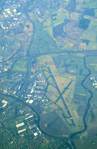
Glasgow airport
The Firth of Forth, and Forth Road Bridge
The iconic Forth (rail) Bridge is just about visible in the background, behind clouds.

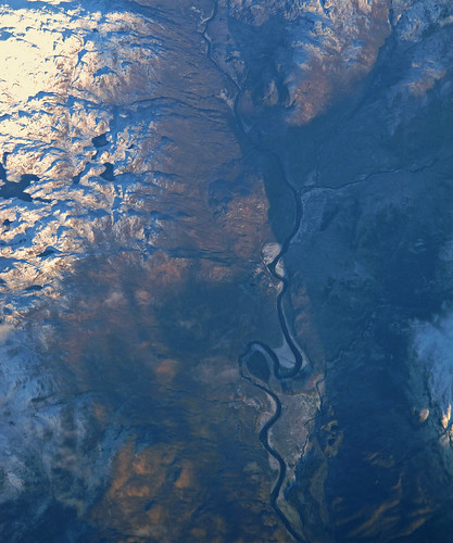
River valley in Scotland
I haven't been able to identify this one.
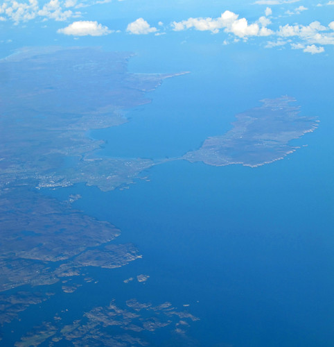
Stornoway and Isle of Lewis
Stornoway is in the left middle-ground.
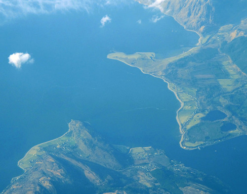
Loch Linnhe
Two photos of Loch Linnhe - one of the north-western edge, and one where its two sides nearly meet.

Robin Rigg wind farm
I identified this, as it was the only wind farm with 60 turbines.

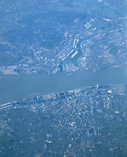
Liverpool, the Mersey and Birkinhead
Liverpool is in the lower half of the photo.
Loch Linnhe
Two photos of Loch Linnhe - one of the north-western edge, and one where its two sides nearly meet.
Robin Rigg wind farm
I identified this, as it was the only wind farm with 60 turbines.
Liverpool, the Mersey and Birkinhead
Liverpool is in the lower half of the photo.
Cork to London, from above
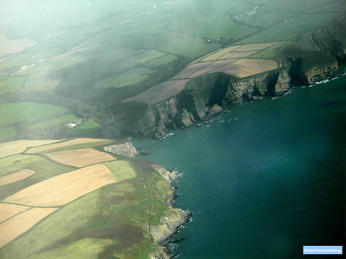
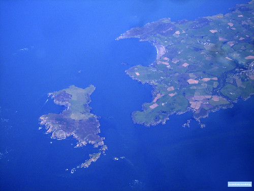
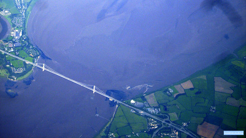
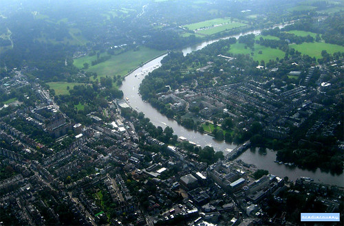
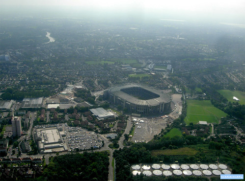
Saturday, January 14, 2012I've been flying back and forwards between Cork and London for nearly 6 and a half years now. Inspired by my last post with google maps screenshots of geographical landscapes, here are a variety of aerial photographs taken on my many flights between Ireland and the UK.

Britain from above
Tuesday, January 10, 2012The first book I have read from my New Year reading list is Never Eat Shredded Wheat, which is all about the geography of the UK.
As the author described various features, like oxbow lakes, moraines, cliffs and so on, I looked them up on Google Maps (because aerial photography is great).
So here are some screenshots of fantastic British landscapes from Google Maps - I didn't keep a record of where these all are, but if you want to guess, leave a comment.


 |
UK to Spain, from above
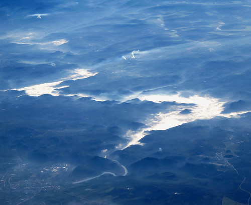
Monday, February 21, 2011I took these great aerial photos on a flight from London to Gibraltar, and then the return flight from Seville to London.
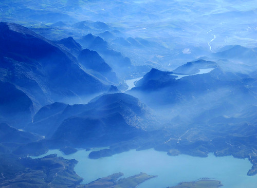
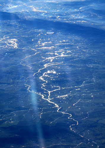
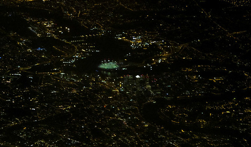
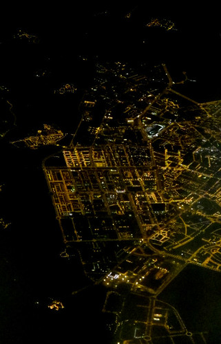
London to Corfu, from above
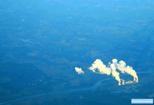
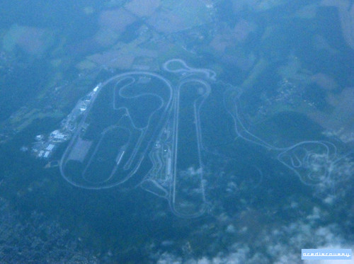
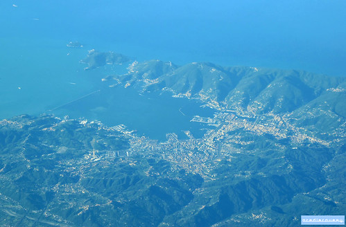
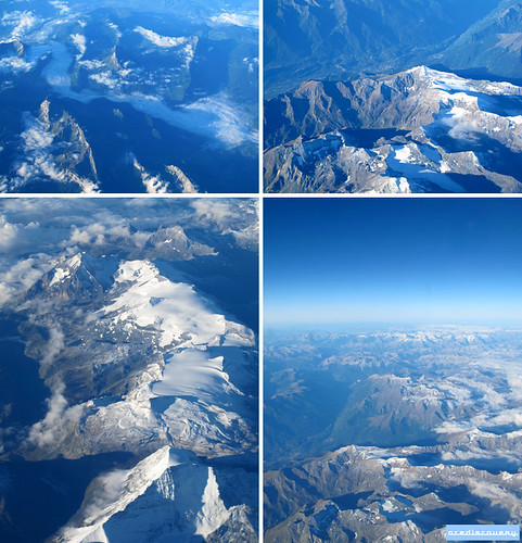
Sunday, September 26, 2010I took these great aerial photos on a flight from London to Corfu, passing over France and Italy.
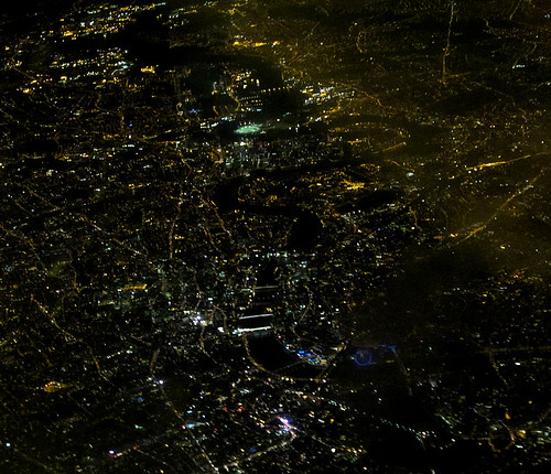
And on the return night flight, we passed over Paris - spot the Eiffel Tower in the left lower middle ground.

Subscribe to:
Posts (Atom)