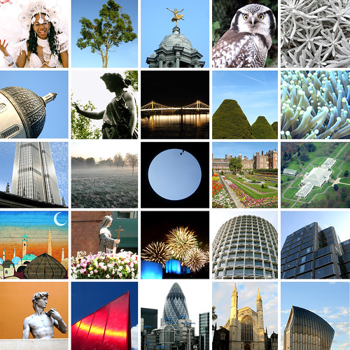
As of today, 5 May 2012, I've been living in London for 2,500 days. I've blogged a lot about London and taked many pictures of London , and enjoying exploring this vast city.
To celebrate, I decided to make a collage of 25 photographs from London - it shows people, art, galleries, museums, nature, graffiti - all the kinds of things that add up to make London great.
Things I do
I ask people to draw maps...
· Draw the World
· Draw Europe's nations
· Crowdsourced Continent maps
I make map cards:
· See map cards
Other things I wrote about:
· Little moments from travel
· London art & museums
· Football with foreign fans
· London shop geography
About this blog
I also write a newsletter about museums.
2,500 days in London
Saturday, May 05, 2012Myriam's map of San Marino
Wednesday, April 18, 2012I visited San Marino three years ago.
On my way there, I left my phone on the bus. Myriam, who worked at my hotel very kindly drove me to the bus garage to get my phone back. I spent some time talking to her, she was a very nice person.
During all this, for some reason, I didn't ask her to draw a map of San Marino. Maybe I just forgot, or felt a bit foolish.
I went back to San Marino this week, and found Myriam still working in the hotel.
She remembered me from three years ago, and then drew this wonderfully detailed map of San Marino.
Thanks Myriam!
So now my collection of maps of European countries is nearly done - only Andorra, Bosnia, Cyprus, Moldova and Monaco are left. I'm determined to finish the collection this year - here's hoping.
Essex Estuary Evaluation
Thursday, April 12, 2012Last week, I volunteered to test a walk for the Royal Geographical Society's Discovering Britain website.
It is a great website with lots of downloadable guided walks all over the country,
My walk was along the Essex Estuary where the Thames meets the North Sea, and land meets water.
It's only 40 minutes away from London but an interesting walk along a relatively ordinary landscape made even more interesting by the tour commentary.
Labels: Essex, landscape, photography, seaside
Iceland is geography
Monday, March 05, 2012I went to Iceland a month ago, and was agog looking at the landscape. Iceland is a living geography lesson, with amazing landforms all over.
So, a game of spot-the-landform - Geysir hot spring, a hill (don't know its name), Gullfoss waterfall and Faxi waterfall.
And some more - Kerið crater, Strokkur geyser, Hvítá gorge and another hill (don't know its name either)
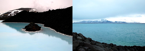
I made my photos black and white because the weather was mainly grey during my visit - except for Sunday, when the sun came out, and colour emerged: blue waters at the Blue Lagoon, and Reykjavik harbour
Labels: environment, geography, Iceland, photography
Transbritannia
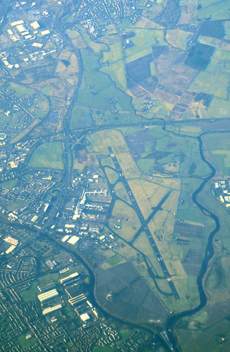
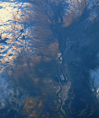
Wednesday, February 15, 2012Flights from London to Iceland fly over a lot of water, a little part of Iceland, but mostly over the length of Britain.
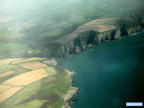
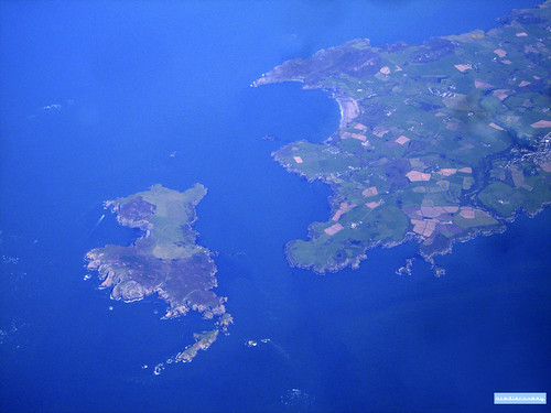
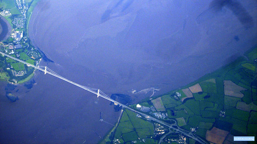
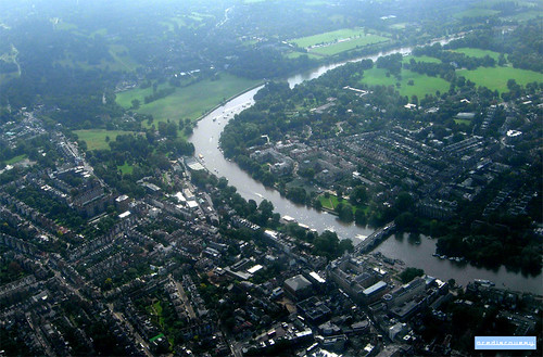
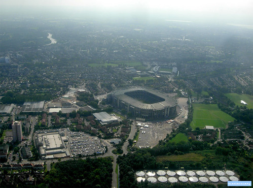
Take a look at these aerial photos of mountains, valleys, islands, cities and towns - mine are mainly of Scotland and the north of England, because it was cloudy down south.
Glasgow airport
The Firth of Forth, and Forth Road Bridge
The iconic Forth (rail) Bridge is just about visible in the background, behind clouds.
River valley in Scotland
I haven't been able to identify this one.
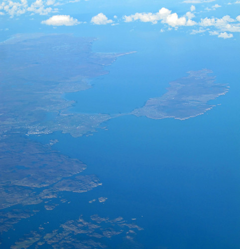
Stornoway and Isle of Lewis
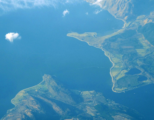
Loch Linnhe
Two photos of Loch Linnhe - one of the north-western edge, and one where its two sides nearly meet.
Robin Rigg wind farm
I identified this, as it was the only wind farm with 60 turbines.
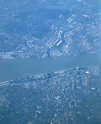
Liverpool, the Mersey and Birkinhead
Liverpool is in the lower half of the photo.
Labels: aerial, Liverpool, photography, Scotland, UK
London » Lyon
Tuesday, January 24, 2012I went by Eurostar from London to Lyon in November, full of plans to take photos of the journey - until I realised my camera's battery was empty.
So instead, I took out a notebook and got drawing the sights and landmarks the train passed - here they are as one animation.

Labels: France, Lyon, photography, trains
Cork to London, from above
Saturday, January 14, 2012Britain from above
Tuesday, January 10, 2012The first book I have read from my New Year reading list is Never Eat Shredded Wheat, which is all about the geography of the UK.
As the author described various features, like oxbow lakes, moraines, cliffs and so on, I looked them up on Google Maps (because aerial photography is great).
So here are some screenshots of fantastic British landscapes from Google Maps - I didn't keep a record of where these all are, but if you want to guess, leave a comment.
![]() |
Charity paintings
Saturday, October 29, 2011Ages ago (before I started working there), I did a painting course at the Horniman Museum.
At the end of each class, there was usually some paint left over on our makeshift palettes (cereal packets). I hate to throw unused things away, so I would get this paint and smear it on to paper in the hope it would make interesting patterns and pictures.
And then I held on to these "paintings" for years...
A few months ago, I was giving some small picture frames to a charity shop, and thought how much nicer they'd look with images inside them.
So I dug out the paint-splash-paintings, added some circles, and put them in the frames. Here they are...
I wonder who bought them, and what they make of them...
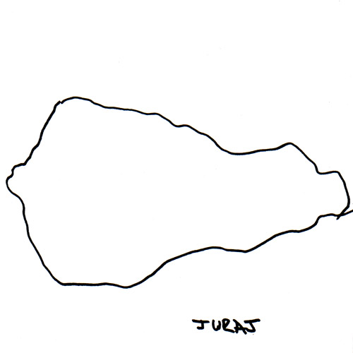
Juraj's map of Slovakia
Monday, October 10, 2011Even though it took me some time, I didn't have to look far to find someone to draw a map of Slovakia.
Juraj, who I work with, was happy to draw this great map of Slovakia.
This takes my tally to 41 with only six countries to go: Monaco, San Marino, Andorra, Bosnia, Cyprus and Moldova.
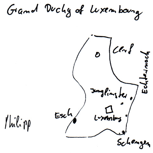
Philipp's map of Luxembourg
Wednesday, September 14, 2011There aren't many Luxembourgers in the world, but some of those in London meet at a pub every month. I went along, hoping to find someone to draw me a map.
The friendly gentlemen I found there happily helped, taking it in turns to draw the perfect map.
Luxembourg, they said, was shaped like a shoe on its side.
Phillippe's map shows some of Luxembourg's cities and towns including the small village Schengen which gives its name to Europe's open border visa arrangement. So three cheers for Luxembourg, the powerfully petit Grand Duchy.
Thomas Struth @ Whitechapel Gallery
Friday, September 09, 2011I went to see the Thomas Struth exhibition at the Whitechapel Gallery.
Many of the photographs in the show are of city streets and urban landscapes. In some cases - like New York, Tokyo, Las Vegas - the architecture tells the location.
But in many, the architecture doesn't give away where the photograph was taken. The photographs lined up side-by-side highlight the same-ness of buildings, and (mainly) Western European architecture. It could be anywhere.
Only the street signs, the shop signs, and advertising gives clues to where the picture is.
Maybe it doesn't need to be obvious from the architecture where these streets are, but, somehow, it feels a little sad that it's not...
Labels: art, photography